Whether you are moving to the Salmon Arm or Shuswap Area, already live here, or planning to visit, the following are excellent resources on our area to help you get the most out of our beautiful location. If you would like to live here, why not view the Shuswap Real Estate Listings.
General Info
Living in Canada
Canada is a vast country divided into provinces and territories. Some things are governed and regulated federally, others provincially and still others on a municipal level.
Citizenship And Immigration Canada
- Welcome to Canada: Everything you need to know before you leave and upon your arrival in Canada.
- Service Canada for immigrants: Government site with resources for newcomers to Canada
- Citizenship Program
- Citizenship Applications
Working In Canada
- Social Insurance Number or SIN
- Looking for a job: Job Bank
- Learning About Taxes: A course to help you understand the fundamentals of the Canadian tax system and to teach you how to file a basic income tax return.
Health Care
Canada’s health care system or “medicare” is designed so that all residents have reasonable access to necessary health care and medical attention and is a shared responsibility of the federal and provincial/territorial governments.
Living in BC
Provincial Taxes:
Heath Care:
Schools And Education:
- Education BC
- School District 83 – North Okanagan, Shuswap district site
Drivers Licence And Auto Insurance:
You have 30 days to register and insure a personal vehicle that you bring into BC when you move here and 90 days to acquire your BC drivers licence.
Getting your BC Drivers Licence
Your “claim history” and how to apply for your safe driving discount.
Local Autoplan Brokers:
Living in the Shuswap
Local News
Newspapers:
- Salmon Arm Observer: Weekly, Wednesday
- Shuswap Market News: Weekly, Friday (Free)
- Lakeshore News: Weekly, Thursday (Free) The Lakeshore News also publishes an annual guide, see 2012 Visitors Guide
- Friday AM: Weekly, Friday. First Friday of each month is an All Month issue. (Free)
Radio:
Weather
The Shuswap area offers a moderate climate with four distinct seasons. Climate normal according to Environment Canada statistics show average daily temperatures range from -4.6°C in January to 19.3°C in August.
View the 7 Day Forecast from Environment Canada
Want a second opinion? Check out The Weather Network
Lifestyle
Arts And Entertainment In The Shuswap
MUSIC:
Salmon Arm Folk Music Society – A truly amazing organization that works year round to bring an ecclectic mix of musical acts to various venues in the Salmon Arm area. Their biggest annual event is The Roots & Blues Festival. For three fabulous days in August you can experience the largest and most diverse festival of traditional, world, blues and roots music in the interior of British Columbia.
Wednesdays on the Wharf – June through September features live music acts performing on the stage at the Salmon Arm Wharf in the evening. A popular event! Bring your lawnchair or blanket.
MOVIES:
The Salmar Grand and Classic Cinemas – The Salmar Grand has 4 screens and the Salmar Classic has one. All run, owned and maintained by the Salmar Community Association.
Starlight Drive-In – Yes, a real drive-in, just like the old days. Check online for opening date and show schedule.
LIVE THEATRE:
Shuswap Theatre – Live theatre performed by extremely talented, semi-professional local artists
Runaway Moon Theatre – Innovative puppet theatre and community arts experiences located on the organic Curly Willow Farm in Grindrod.
Caravan Farm Theatre – Non-profit professional outdoor theatre company whose home is 80 acres of farmland near Armstrong, BC.
Maps
The Shuswap is conveniently located halfway between Vancouver and Calgary on the Trans Canada Highway and sits at the Northern entrance to the Okanagan Valley to the South.
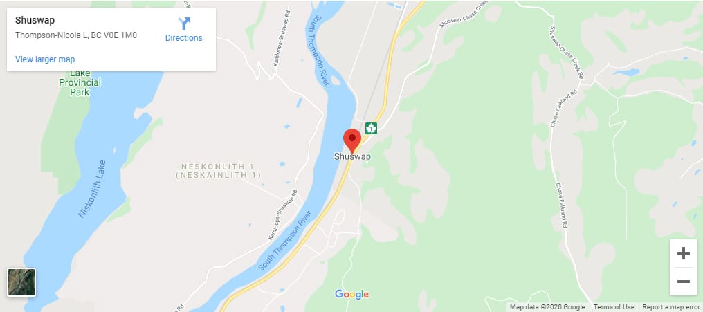
The Shuswap area covers quite a few square kilometres and you’ll want to have a basic understanding of the communities that make up the area and where they’re located.
Shuswap Lake is shaped like a lazy H and is made up of 4 “arms”. Shuswap Lake or the main arm of the lake, Seymour Arm, Anstey Arm and Salmon Arm. The city of Salmon Arm is located at the end of – you guessed it – the Salmon Arm of Shuswap Lake.
The “North Shore” consists of the communities of Lee Creek, Scotch Creek, Celista, Magna Bay, Anglemont and St Ives and stretches down the North shore of the main arm of Shuswap Lake.
The South Shuswap is made up of the Sorrento, Blind Bay and Eagle Bay areas along the South shore of the main arm.
White Lake, Notch Hill and Tappen are south of that with the popular Sunnybrae area following the Northern shore of the Salmon Arm.
Sicamous is located at what the locals call “The Channel” which is where Mara Lake meets Shuswap Lake. Lately a developer has inadvertently caused confusion by naming a development on the channel as “the Narrows” which is unfortunate because Shuswap Lake already has a place called “The Narrows” or more correctly, the Cinnemousun Narrows. This is where all 4 arms of Shuswap Lake meet or where you can find the floating stores during the summer months.
Ready to get started?
Reach out today to start a conversation about your future plans

